
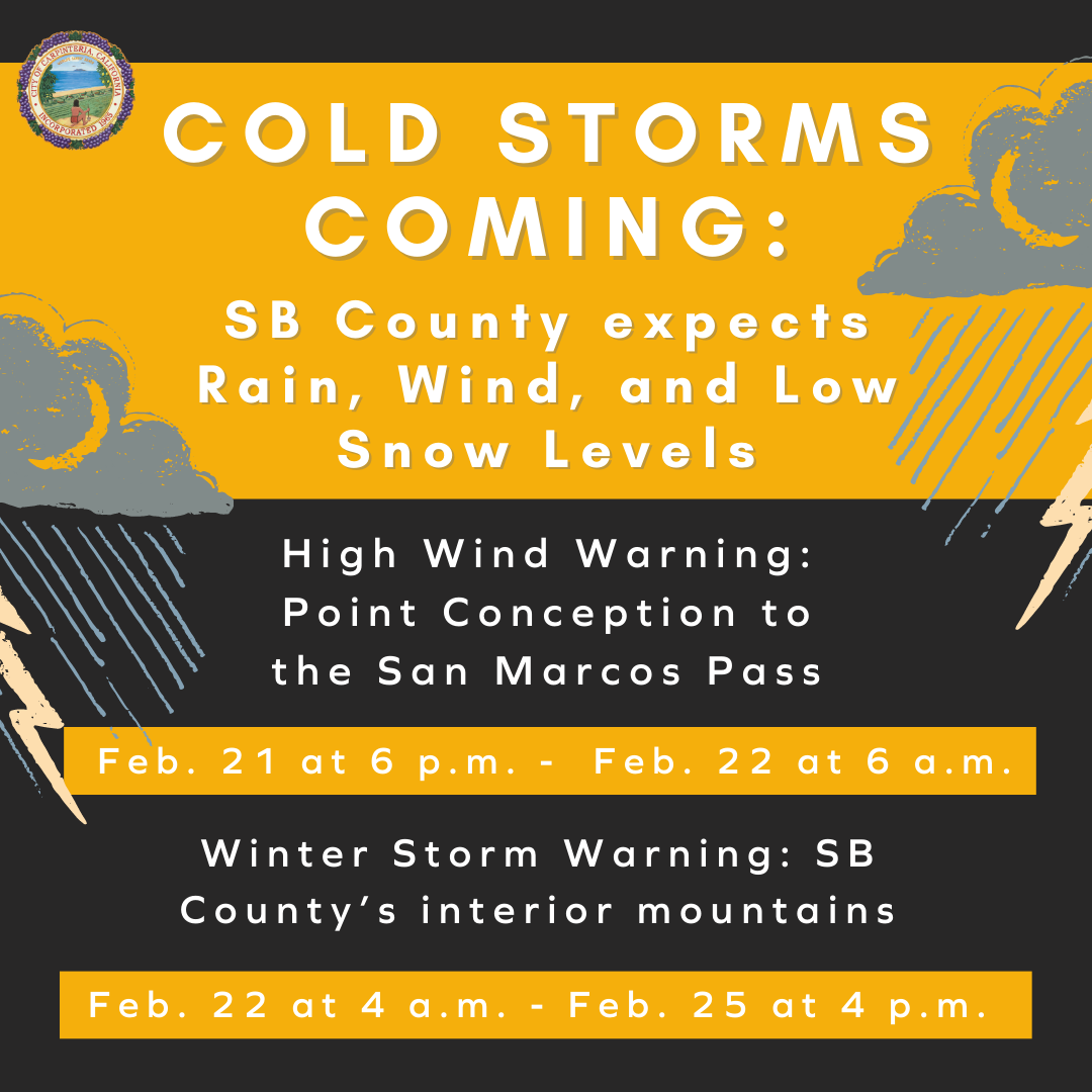
Winter weather conditions are forecast for Santa Barbara County starting Tuesday, Feb. 21 through the weekend. The National Weather Service has issued a High Wind Warning for coastal areas from Point Conception to the San Marcos Pass, effective from Feb. 21 at 6 p.m. to 6 a.m. on Feb. 22. A Winter Storm Warning was also issued by the National Weather Service for the county’s interior mountains and is in effect from Feb. 22 at 4 a.m. to 4 p.m. on Feb. 25. Extreme cold temperatures, continued wind, and rain are possible through the weekend. Snow levels are forecast for lower elevations and may impact transportation routes including potentially Highway 154 and Highway 166 (Cuyama area). The lowest snow levels in the county are forecast to be roughly 1,500 feet for interior mountains and the Cuyama Valley. Countywide the snow level is forecast to be 2,000-2,500 feet. This weather system will also bring very cold temperatures throughout the county. Gale force winds are also expected at sea. More weather forecast information is available at: https://www.weather.gov/lox/
 © 2026 City of Carpinteria. All Rights Reserved.